Precision in Land Surveying, Excellence in Geospatial Solutions
We provide accurate, reliable surveying and mapping services across Kenya for sustainable land development and informed decision-making
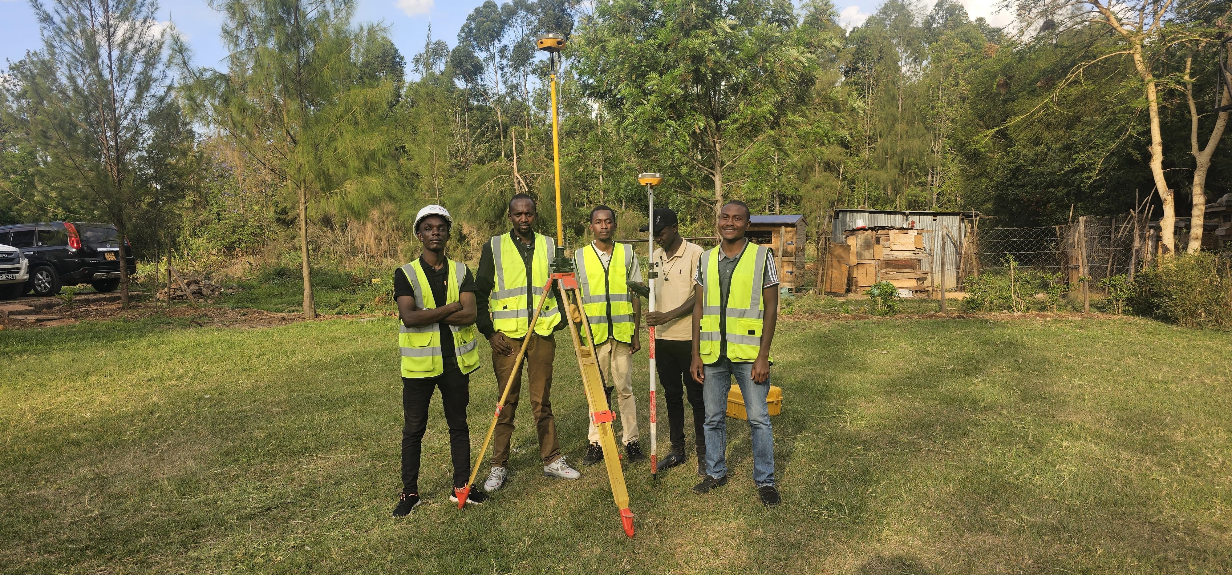
About Us
Envi Solutions Limited is a consultancy firm specializing in Land Surveying Services and application of Geospatial Technologies in various fields like Land Administration, Agriculture, Urban planning, Digital Mapping, Environmental management and Real Estate management.
Our Services
Land Surveying
Accurate and reliable surveying services for boundary establishment, land subdivision, and topographic mapping to support your land management and development needs.
GIS
Comprehensive mapping solutions that capture and visualize critical spatial data, helping you make informed decisions based on precise geolocation insights.
Topographic Surveying
Detailed topographic surveys that provide essential information on land elevations, contours, and features, aiding in construction planning and environmental assessments.
Engineering Surveying
Precise measurements for infrastructure projects, including road alignments, building layouts, and utility mapping, ensuring your projects are built with accuracy and efficiency.
Contact Us for Consultation
Partner with Experts in Land Surveying and Geospatial Solutions. Your journey to accurate, reliable, and data-driven insights starts here.
Contact Us→